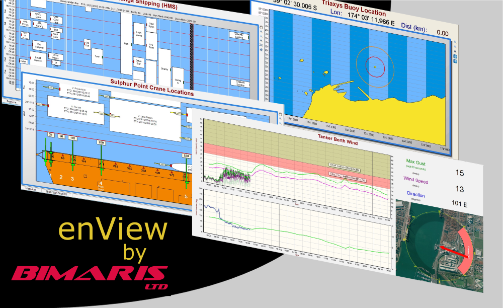
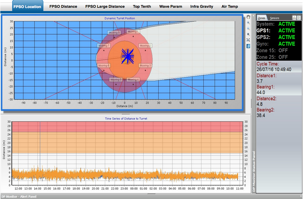
About Bimaris LtdBimaris Limited was formed in early 2004 with the goal of providing innovative software and hardware solutions for the Environmental monitoring; Oceanographic, Hydrographic, and Vehicle tracking industries.We are just a small company but this has had the benefit of allowing us to innovate quickly when needed using our consulting services and direct communication with clients to provide customized software that meets there specific needs. Describe your ApplicationOne of our first software products using TeeChart was enView which simply stands for Environmental Viewer. Its the viewing part of our Windows or Linux based environment data logging system.The server system logs many different sensors types for example tide, wind, wave, long wave, current velocity, current profiles, buoy locations, spectral displays, turbidity, crane locations, shipping movements, Infra gravity and many more derived values. A key requirement for the viewing software has been to display the stored data quickly and effectively through many varied and sometimes client specific charting displays. TeeChart has allowed us to do just that and at a glance to communicate to the viewer not only the conditions they are currently experiencing but also forecasts and historical events. The enView software is used by most of New Zealand’s largest port companies with its ability to expand to those companies ever changing needs. Why did you choose TeeChart?When we first began writing our software TeeChart was certainly the most feature rich charting platform that was available in our preferred IDE platform now called RAD Studio. Our initial testing was with the free VCL version which allowed us to test most of the functionality we needed at the time to show our potential clients.It didn’t take long for our charting needs to expand with the professional source code license allowing us to meet the expanding usage cases our clients presented us. Describe a specific project challenge your company overcame using TeeChartOne of our software products DPMon (Dynamic Position Monitor) required us to display multiple FPSO vessel outlines, positioning system locations, vessel mooring anchors, and alert range circles.Additionally to this we needed to show a distance time series representing the two system distance estimates with all charts working in real-time. This initially posed a challenge but in the end was easily solved in both instances by using TeeChart as the following image reflects. What benefits have you experienced from using TeeChart?We have touched on some of the benefits we have had using TeeChart above but simply put we have found it easy to use, solid intuitive architecture, great usage examples and when problems do arise we have had quick forum support.With some 12 years of varied charting needs we have not to date found an instance that TeeChart hasn’t allowed us through some mechanism display charts and data the way our clients want them presented. Brett Wilton Director Bimaris Limited www.bimaris.co.nz 
|


